Old pictures of East Calder
EAST CALDER is a village, 1 mile east from Mid-Calder, on the south road from Edinburgh to Glasgow. It was originally a parish of itself, but is now united to Kirknewton. The nearest railway station is Mid-Calder, about 1 miles distant, on the Edinburgh and Glasgow section of the Caledonian system. St. Cuthbert's church, now an ivy-clad ruin at the west end of the village, was built by Randolph de Clere in the 12th century. The barony was given in 1306 by Robert Bruce to James Douglas, an ancestor of the Earls of Morton. The population in 1891 was 974, and in 1901, 1,094.
Slater’s Royal National Commercial Directory of Scotland, 1903
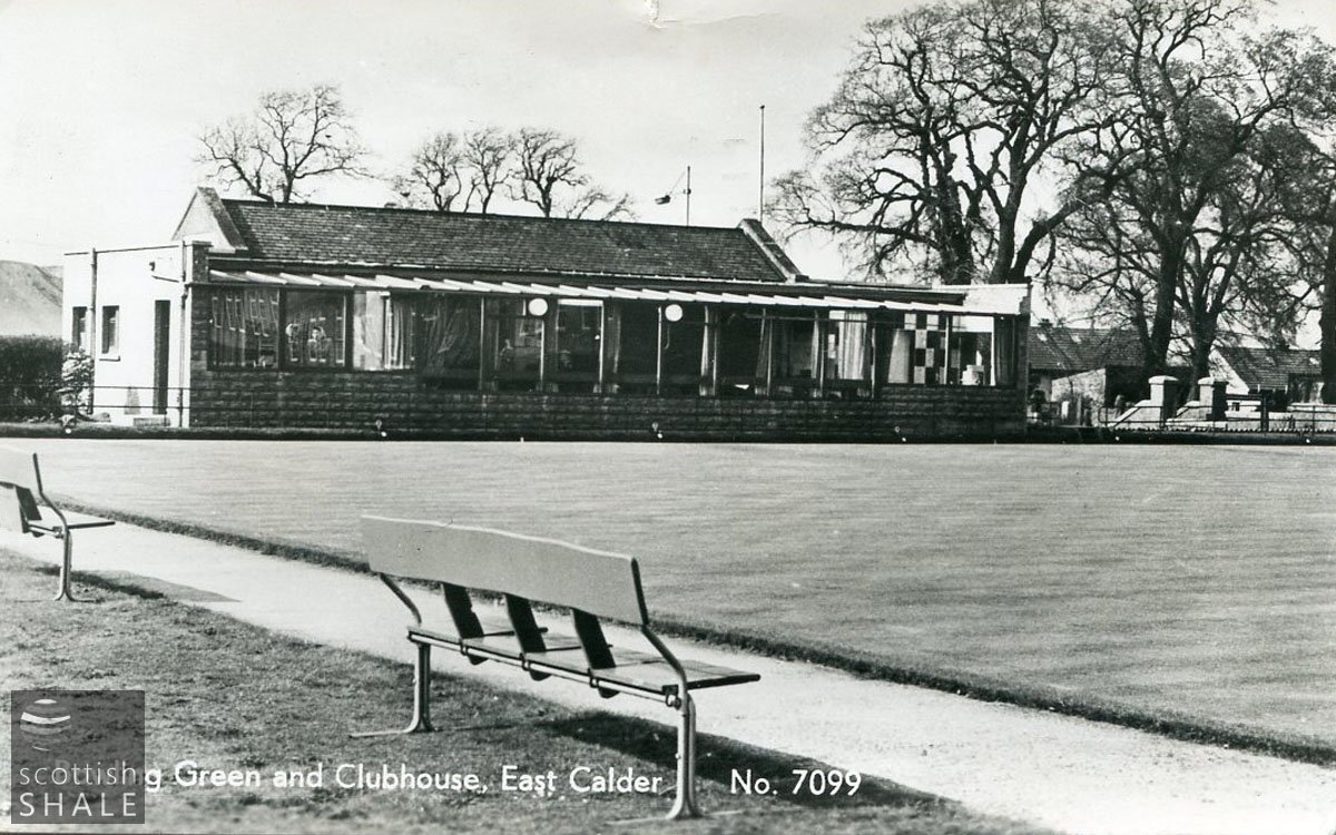
Postcard - "Bowling Green and Clubhouse, East Calder"
LVSAV2020.031
Postcard - "Bowling Green and Clubhouse, East Calder" B&W photographic postcard of Bowling Green, with shale bing in the background
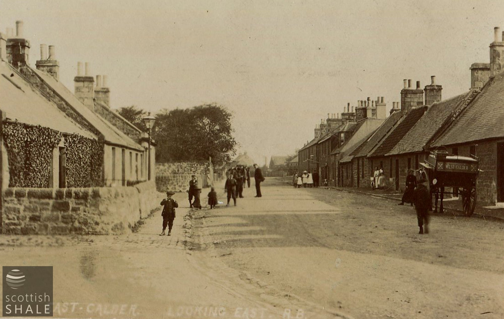
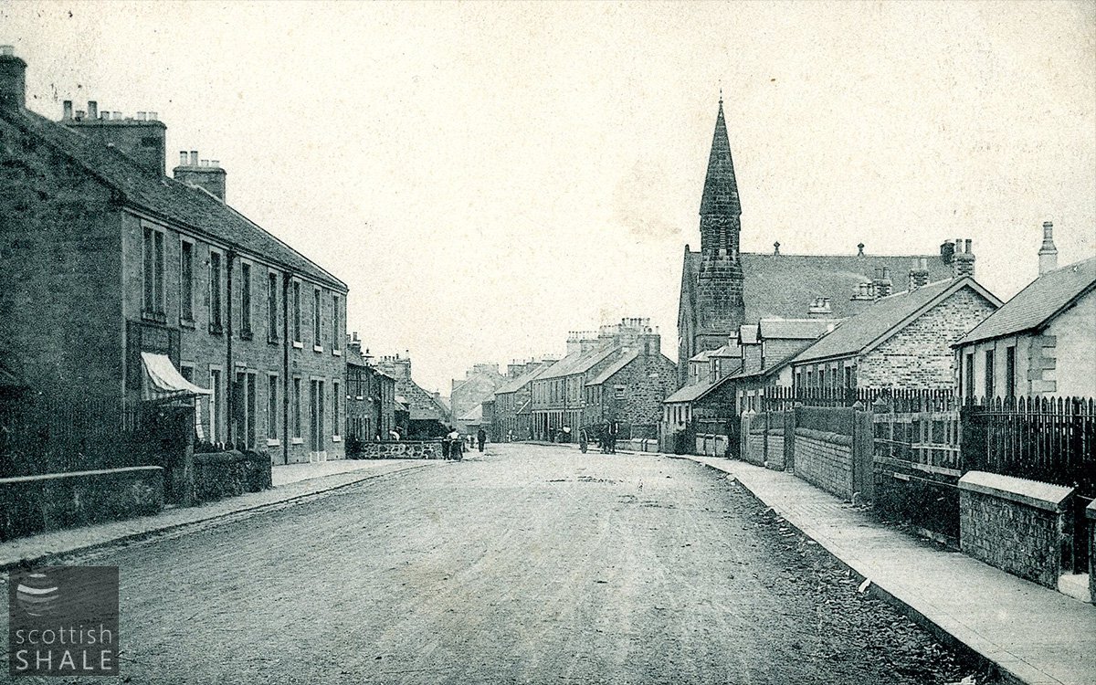
Postcard - "East Calder. Looking East"
LVSAV2016.152
Postcard - "East Calder. Looking East" Sepia photographic postcard showing a street scene in East Calder (looking eastward).
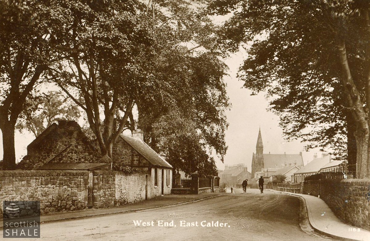
Postcard - "West End, East Calder"
LVSAV2011.154
Postcard - "West End, East Calder" B&W photographic postcard showing the West End of East Calder with Kirknewton and East Calder Parish Church visible.
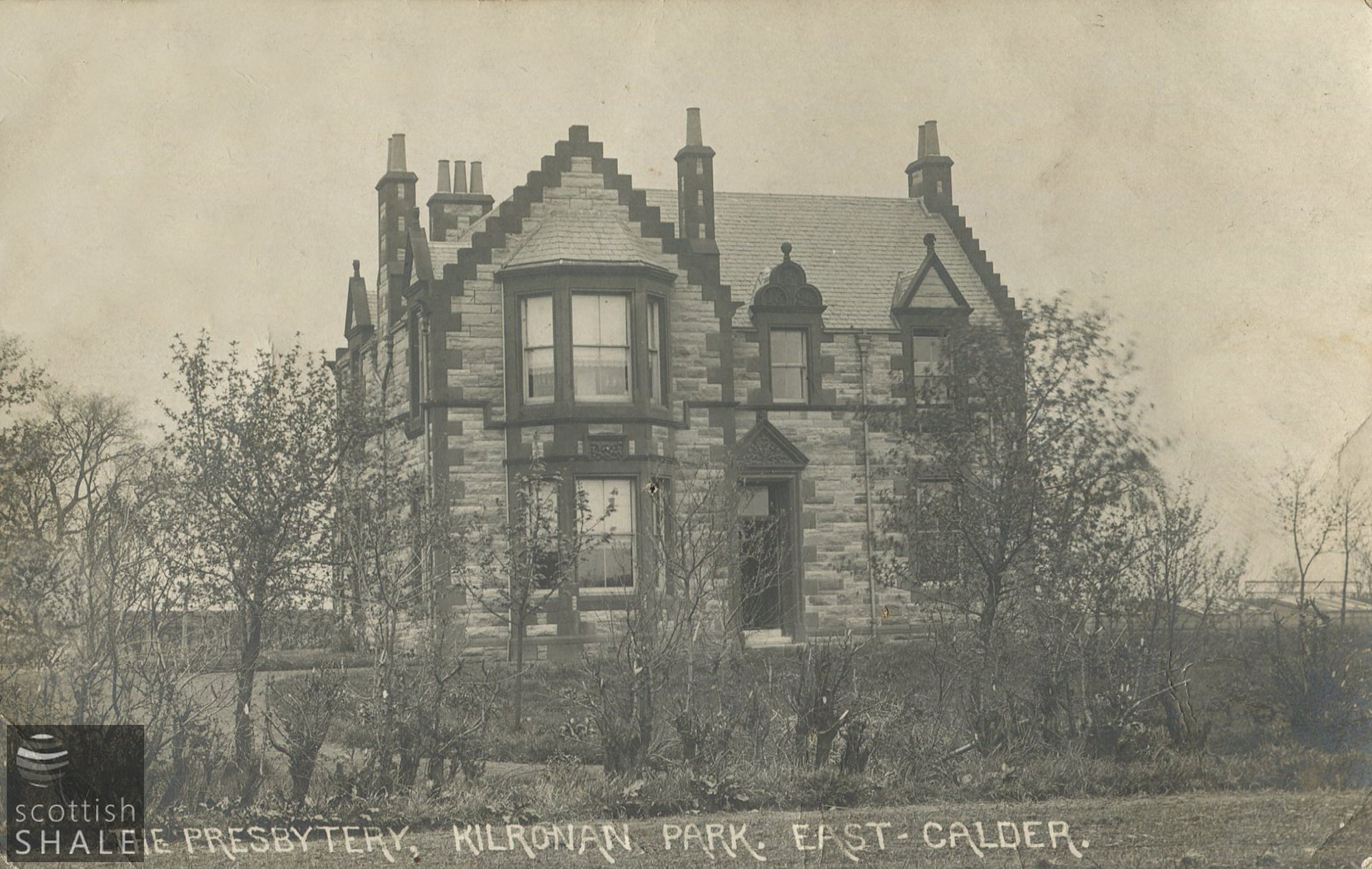
Postcard - "The Presbytery, Kilronan Park, East Calder"
LVSAV2016.153
Postcard - "The Presbytery, Kilronan Park, East Calder" B & W (matt) photographic postcard showing the front of the presbytery in East Calder.
Postcard - "West End, East Calder"
LVSAV2017.065
Postcard - "West End, East Calder" B&W printed postcard looking east from West End