The Little Remains of Little Vantage
An old inn beside the Lang Whang.
F22008, first published 24th April 2022
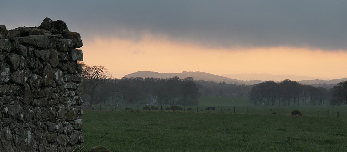
Driving westward along the A70, just before cultivated fields give way to the moorlands of the Lang Whang, you get a fine views across to the Pentland hills and the Cauldstane Slap; the high pass across the hills, once famous as a drove road. In the centre of a field just off the A70 are the ruins of a small building, now little more than a heap of stones. This is all that remains of the “inn known by the name of Little Vantage”.
The earliest know reference to Little Vantage dates from 1730, at a time when the droving trade was in the ascendancy. Every year, Highland cattle raised in the northern glens and islands of Scotland would be driven in their thousands to the great Trysts at Crieff and Falkirk. Here cattle were traded and prepared for an epic journey south towards London. Great herds would be driven through southern Scotland and England, progressing little more than ten miles each day, and finding free grazing in a feudal landscape still largely unenclosed by fences, hedges and ditches. A hardy breed of drover, and their dogs, tended to these herds on their long journey, often sleeping under the stars, sometimes taking shelter in local hostelries. Most cattle traded in the great trysts followed a route south across the Cauldstane Slap, so it seems that Little Vantage was well placed to serve the droving trade. Scenes might be imagined of beery bawdy nights spent at the hostelry, with the air thick with stories, songs, peat smoke, and the smell of cattle.
Little Vantage is marked on Roy's map of the Scottish lowlands, completed not long after the 1745 Jacobite uprising and before the landscape was fundamentally changed by enclosure and the improvement of lands and roads. The map shows a clear route across the Cauldstane Slap which crossed a second route linking Edinburgh and Carnwath. Both roads lay south of Little Vantage, unlike the present A70 that runs to the north. Little Vantage is sited on a gentle ridge facing south towards Cauldstane Slap and will have overlooked the two roads shown on Roy's map. With a clear view east to Edinburgh and a fair view westwards, the site provided an excellent vantage point in all directions, which is perhaps why the Inn gained its name.
Like much of Scotland, the landscape around Little Vantage was transformed during the second part of the 18th century with the formation of estates, the enclosure of land and improvement of roads.
An advert from 1774 sought contractors to improve “all parts that is unmade of the road from Casa-end to Corsithill, leading to Lanark”, perhaps relating to completing a new course for the turnpike road to the north of Little Vantage that forms the modern route of the A70. It might have been that the prestigious new turnpike road and the fashionable stagecoach traffic encouraged further beautification of the lands of Leithhead (which Little Vantage and 40 acres of farm land formed a part of). Nearby, and overlooking the turnpike, “Aimville“ - described as a neat mansion house” - was built in the 1770's. A subsequent sales note enthused: “Aimville house and parks will afford an agreeable retreat to a gentleman whose chief employment is in Edinburgh, but wishes for exercise and amusement, to reside sometimes in the country”
The earliest reference to Little Vantage as an Inn comes from 1780, although it seems likely to have served as a hostelry for many years previously. It appears that Little Vantage was re-invented as a coaching inn, looking north to the turnpike, rather than south to the Pentlands, and providing the first point after leaving Edinburgh where horses were changed and coach passengers could pause and stretch their legs. A twice-weekly “diligence” stagecoach service linking Edinburgh, Ayr and Portpatrick (for the ferry to Ireland) was advertised in 1781, and promoted by innkeepers along the route including Elizabeth Robertson of Little Vantage.
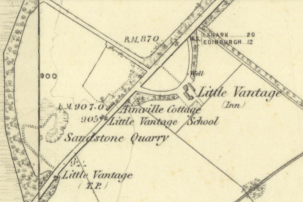
6" OS map c.1852, when still operating as an inn.
Courtesy National Library of Scotland
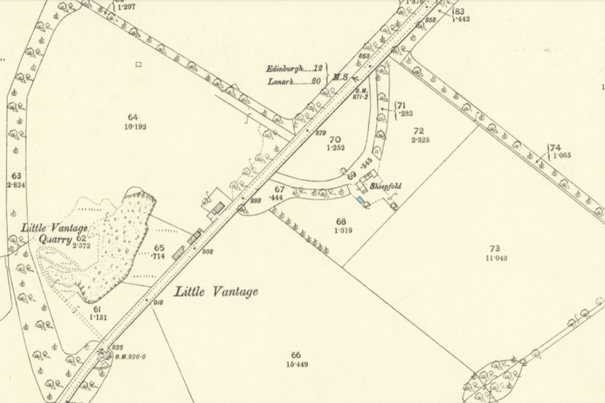
25" OS map, with Little Vantage in ruins
Courtesy National Library of Scotland
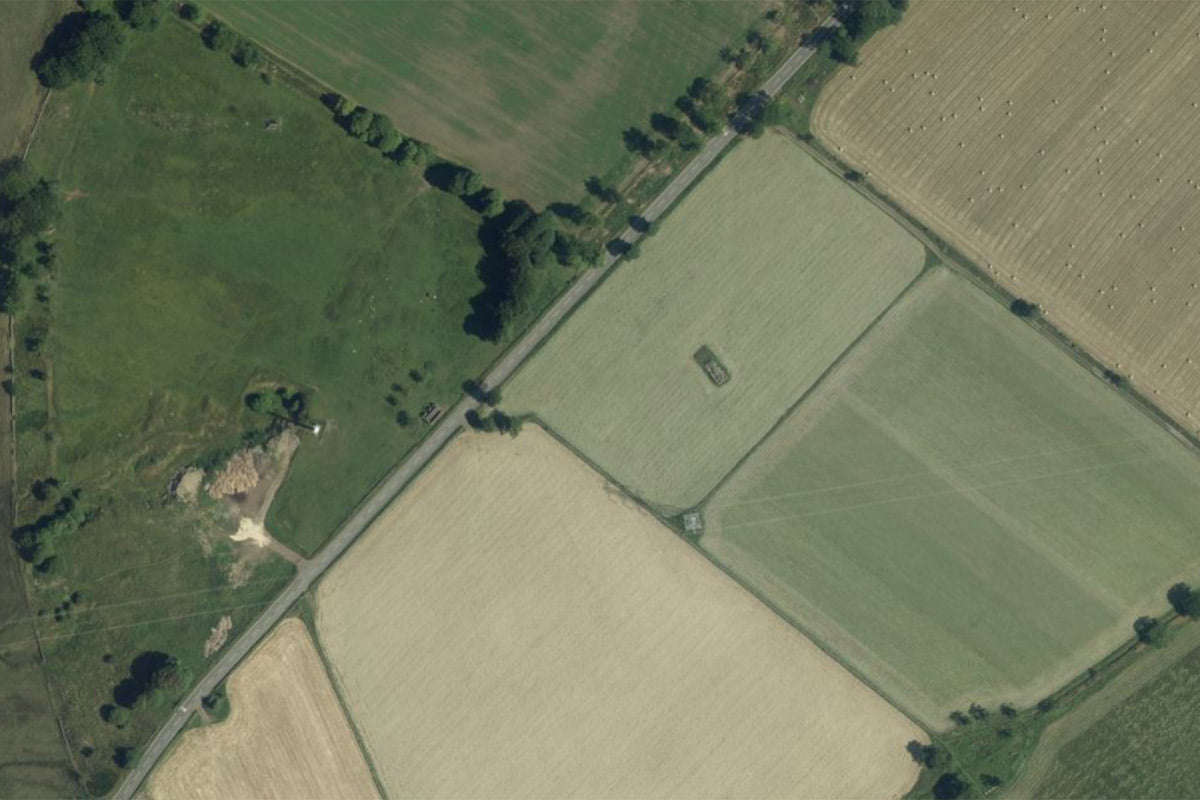
Recent aerial view
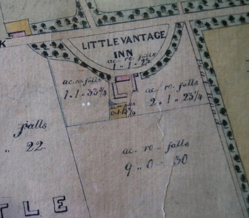
It seems however that in contrast to fine new coaching inns that developed along turnpike roads, there is no evidence that the old buildings of Little Vantage were substantially improved and no dressed stone is found among the surviving piles of rubble. There are no known images of the inn, but an early plan suggests a modest building with a yard and stabling to the rear, with a garden and arable land to grow fodder and vegetables to feed horses and the human customers of the inn. Perhaps in an attempt to disguise the humble facilities, an impressive D-shaped wooded drive was installed, as might have served a fine country house; (for instance, the arrangement at Blackburn house is very similar). An advert of 1801 describes the inn as “surrounded with young plantations, agreeably laid out in clumps and belts, which, it is hoped, will soon become good shelter as well as a great ornament”
It seems perhaps that Little Vantage never lived up to its pretensions as a great coaching inn, however it attracted the custom of sporting types, and was described as “a very great resort of company during the hunting season”. It was later complained that local game had of late “been much destroyed by the breakers of dogs, poachers, and other unqualified persons" It seems that the inn was attracting the wrong type. The out-of-town location (and perhaps out off the view of the authorities) also suited alfresco boxing matches.
An account of 1815 describe how crowds of people, “on foot and horseback, in hackney coaches, chariots and coaches in four” crowded into a field at Little Vantage to view a bout between famous amateur boxers, and there are other references to the inn being used as a training ground for boxers.
It seems that the inn's fortunes gradually waned, becoming little more than a tavern, and finally calling time in about 1860. The old inn remained in use for a period as a farmhouse but by 1895 it was described as an “utter ruin”. The structure was left to decay, some walls providing shelter for sheep.
Until recent years, the raised sweeping curve of the driveway was clearly evident within the grassed field in front of the ruined building, and terraces and protruding stones marked the site of the stables and other structures to the rear. Ploughing and levelling have now obliterated most of these earthworks, and the stones brought out of the ground in this process have been dumped within the remaining walls.
Although the surviving ruins are now little more than shoulder high, there remains something special about the place. Just after dawn, under heavy clouds, it is easy to gaze out from the little vantage point and imagine the herds of black highland cattle massing in the pastures below, awaiting their arduous journey across the Cauldstane Slap.
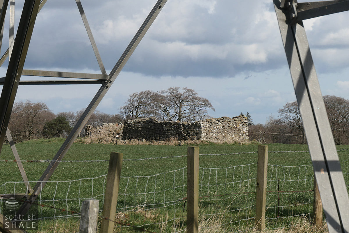
View from beneath a pylon
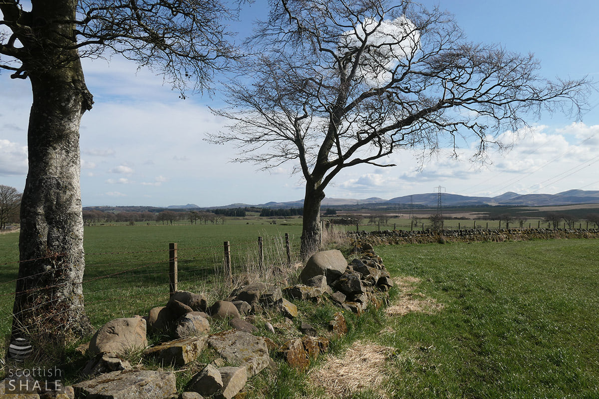
A curved boundary wall - one of last remnants of the elaborate access from the turnpike road
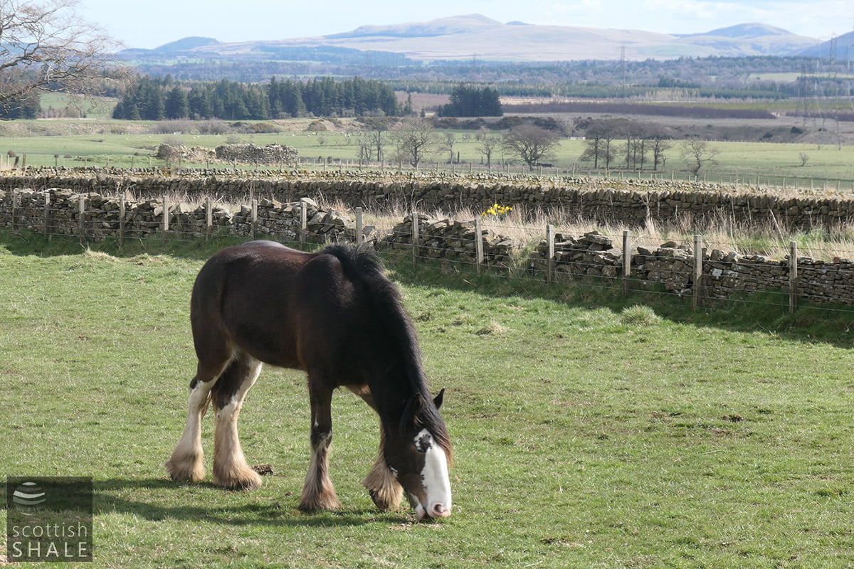
The ruins viewed from north of the A70
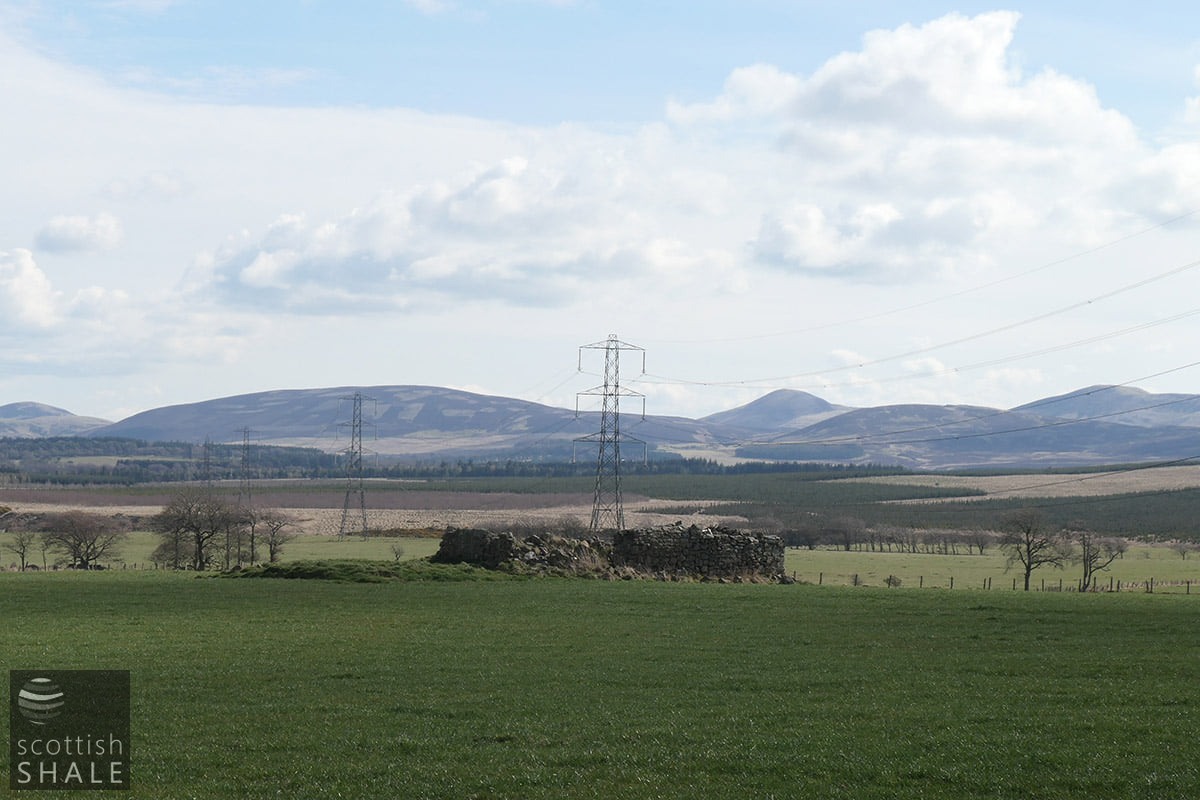
View south east towards the ruins
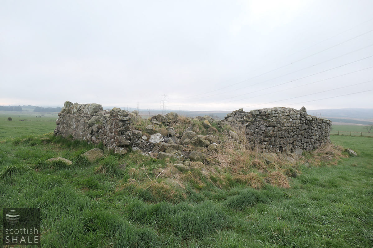
The ruins on a cloudy morning
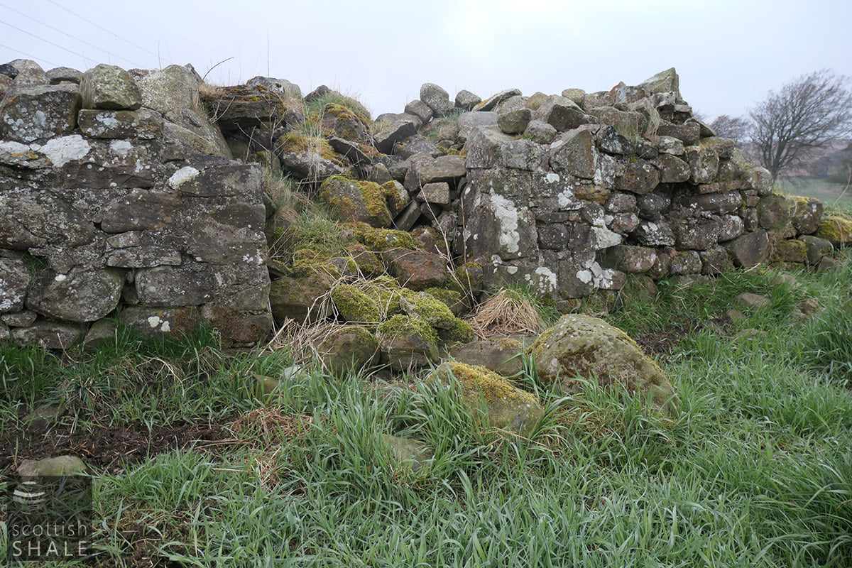
The ruins on a cloudy morning
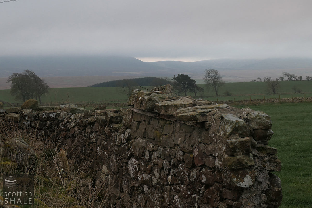
The ruins looking towards Cauldstane Slap, visible just beneath the cloud base.
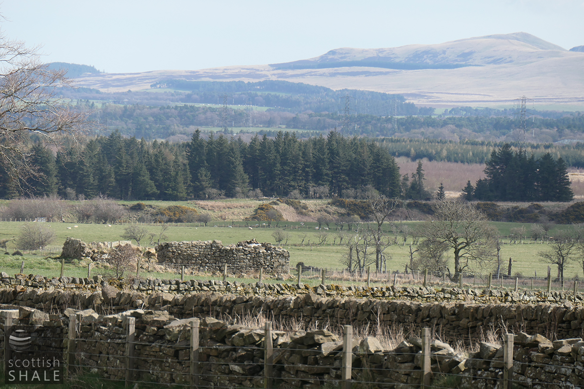
Looking towards the Pentlands
